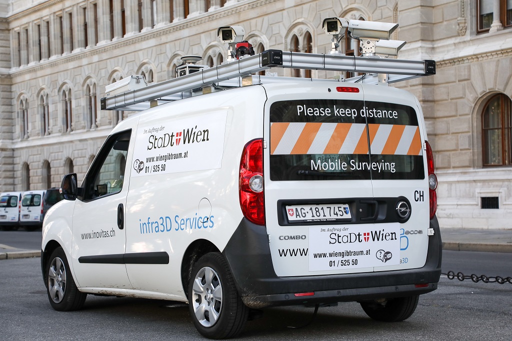
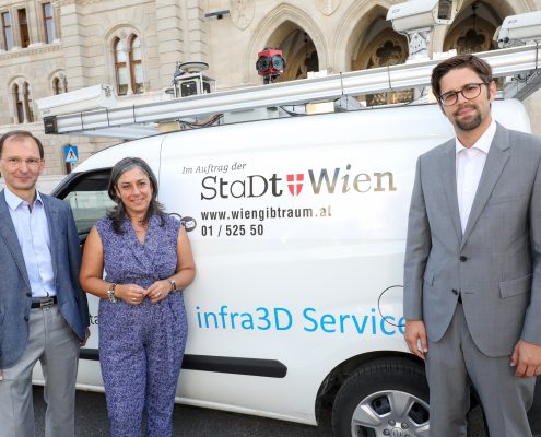
The City of Vienna’s digitalisation project Wien gibt Raum is surveying and mapping all Vienna’s public space and the objects in it. The collected data is being used to streamline and accelerate official permit procedures for seasonal outdoor eating areas, parklets, street festivals and other outdoor projects, making it easier for local people and businesses to use public spaces. A “mobile mapping campaign” has generated some 30 million images of Vienna’s streets and thoroughfares, which serve as the basis for a 3D model of the city’s public spaces and their key features. Wien gibt Raum is thus an important step towards a digital twin, i.e. a complete digital replica of the city.
Software applications to make life easier
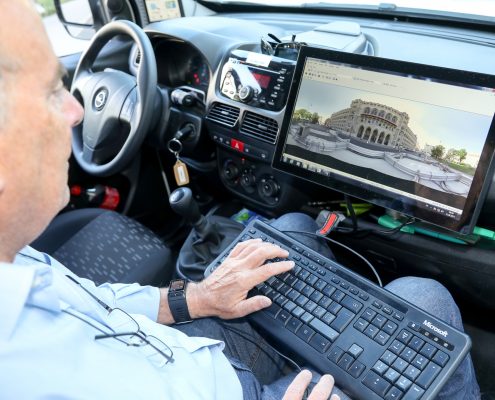
The web application “Kappazunder” makes the images available to numerous users in and outside the municipal administration. For instance, people who are moving house can search online for a bay in which to park and unload. What is more, 500 members of staff from 26 municipal departments are now also using the tool. Kappazunder not only enables staff to inspect public spaces or carry out measurements without leaving their desk; screenshots and measurements can also be stored for further use, which saves time and expense. There is now a systematic, detailed catalogue of all objects and structures in Vienna’s public spaces, with specific GIS layers for different categories of urban furniture. The GIS layers allow further administrative functionalities and visualisation of data (e.g. geodata, survey and image data on the status quo, official permits granted and applications submitted), which can be accessed by multiple departments via their ICT systems for efficient processing. Many of the data sets are also available to the public as open government data (cf. the respective project section).
300,000 pieces of urban furniture
Urban furniture, a blanket term for objects and structures in public areas, affects the day-to-day functioning of the city. Urban furniture covers everything from bike racks, newspaper stands and advertisements to public seating, fountains, snack stalls, kiosks and seasonal outdoor eating areas. There are around 300,000 pieces of urban furniture in Vienna, and they can be of relevance to applications for official permits for events, markets, building work and the like. Prospective users of public space may be required to submit applications to several different municipal departments. The Wien gibt Raum project is providing a new interface to simplify and speed up these approval procedures together with a database to give the municipal administration a reliable, comprehensive overview of all objects and structures present in the city’s public space. This will also make it easier to remove illegal or superfluous structures and objects, making more room for all user groups in the city and guaranteeing fair use of public space for everyone.
The public space as a shared living-room
The Smart City Wien Framework Strategy aims to create a city of short distances to be shared equitably by all. At the same time, public spaces are expected to meet a variety of different, often conflicting, needs and interests. A Smart City must provide a legal and organisational framework to reconcile these needs and interests. As the internal provider of geodata for the City of Vienna, Municipal Department MA 41 – Surveyors is the operational leader of the project and coordinates the work and input of several other departments. The ultimate objective is to keep public spaces usable and freely accessible for all while guaranteeing a safe, smooth flow of traffic.
Contact
Programme Manager David Vladar
Municipal Department 65 – Legal Affairs: Transport and Traffic
E-Mail: david.vladar@wien.gv.at
Website: www.wiengibtraum.at
This post is also available in: German

